THE THIRD ARTICLE IN A FOUR-PART SERIES ON INDIA’S AIR POLLUTION IN THE HINDUSTAN TIMES
AIR POLLUTION ENVIRONMENTAL JUSTICE
Do we know what pollutes Delhi/NCR air and the surrounding region? The answer is a very highly qualified ‘yes’. We know enough to inform action now, even while it is important to keep filling in the knowledge gaps. While there are multiple pollutants, in this article we focus on PM 2.5 or very small particles that experts agree are a major health hazard in India.
In examining sources, one fact stands out: There are at least four discrete sectors that each substantially contribute to Delhi’s pollution (see figure): industry; transport; biomass and waste burning; and dust. Delhi’s air problem is so hard to solve in part because it is not a single problem; it is a 4 X 25% (+/-10%) problem, with at least four implications.
First, because Delhi’s air is already about 13 times the WHO safe levels, we have to make progress on all these sources if Delhi’s air is to be made safe. Even completely removing one or two of these sources will not achieve the objective.
Second, because all sources have to be addressed, it is pointless to debate which source is more or less at fault. At different times different sources predominate — crop burning in October, dust in the summer, transport year around — but on an annual basis, all are important. As a result, for Delhi’s citizens to point accusing fingers at farmers, or transport interests to point fingers at industry, and vice versa, ignores the data — all sources have to be reduced. Also, arguing whether most sources are within-NCR or largely outside NCR is also irrelevant — both must be addressed.
Third, a positive feedback loop — successful actions leading to public support for more action — is extremely hard to build. For example, a heroic effort to limit truck traffic may lead to reduced emissions, but this may not be perceptible; trucks are only a portion of all transport, which is only a quarter of all pollution. Wind and other atmospheric conditions further complicate matters. As a result, painful and disruptive measures may be successful but not appear so, and arouse a backlash. To counter this requires public patience and clear management of public expectations.
Finally, a sector-by-sector approach to solving Delhi’s air has the greatest chance of success — each distinct sector and sub-sector has different technical, regulatory and political characteristics. For example, power plants require high-level regulatory and enforcement solutions, while transport needs attention to behaviour and public procurement to enable a shift to public transport. The political context will also vary: crop burning is linked to agrarian politics, while construction dust involves powerful contractors and poor construction labour. The institutional scale will also differ: industries are regulated by pollution control boards, while RWAs can play a role in managing local waste burning. Air pollution solutions need to be based on understanding source sectors, even while keeping the larger picture in mind.
This point is underscored by a deeper dive into each source sector:
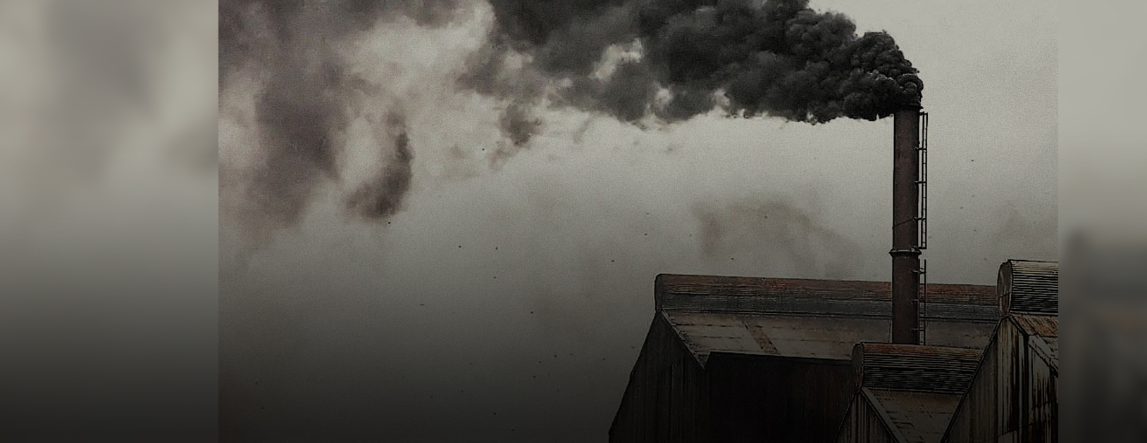
Industry sources are a large share (25-43%) of emissions year-round. About half of these are industrial emissions such as cement and brick kilns, where the main challenge is monitoring and enforcement. The other half are related to power plants and diesel gen-sets that require enforcement but in the longer run rest on cleaner energy sources.
Transport – passenger and freight — accounts for 20-30% of emissions year-round and is growing rapidly with vehicle ownership. For both, infrastructure is needed but for passenger transport, behavioural change is critical.
Biomass and waste burning comprise 20-38% and includes crop burning, waste burning, and household kitchen burning. Crop residue burning is highly seasonally specific and peaks in October; IIT-Kanpur’s study suggests it accounts for 26% of winter emissions. Waste burning is disaggregated throughout the city, but also includes site-specific municipal waste burning in landfills. Household use requires a transition to cooking gas.
Dust includes both construction dust from within NCR and long-range transport of dust from the arid surroundings of Delhi and beyond. Dust is a bigger share of emissions in the summer than in winter; TERI’s study suggests it accounts for 38% of summer emissions.
Air pollution in Delhi-NCR is a complex problem. Addressing it requires urgent, but also deliberate action, in keeping with the nature of the problem. We must recognise we are dealing with a multi-headed problem, that progress on all sources is needed, that we may not see progress immediately but should stay the course, and that solutions need to be tailored to the specific characteristics of each pollution source.
Navroz K Dubash is a Professor at Centre for Policy Research. Sarath Guttikunda is the Founder of Urban Emissions (India), an independent research group, issuing three-day air quality forecasts for all 640 districts in India.
This article is the third in a four-part series on India’s air pollution. The original article, which was published in the Hindustan Times on December 21, 2018, can be found here. For more information on CPR’s work on air pollution, visit the Clearing the Air? project page.
In this Series:
Understanding the Curse of Air Pollution (1/4)
Public Health in India a Casualty of Air Pollution (2/4)
Delhi has a complex air pollution problem (3/4)
Air pollution: India’s waking up, but there’s a long way to go (4/4)